Trains2Green — hike by rail
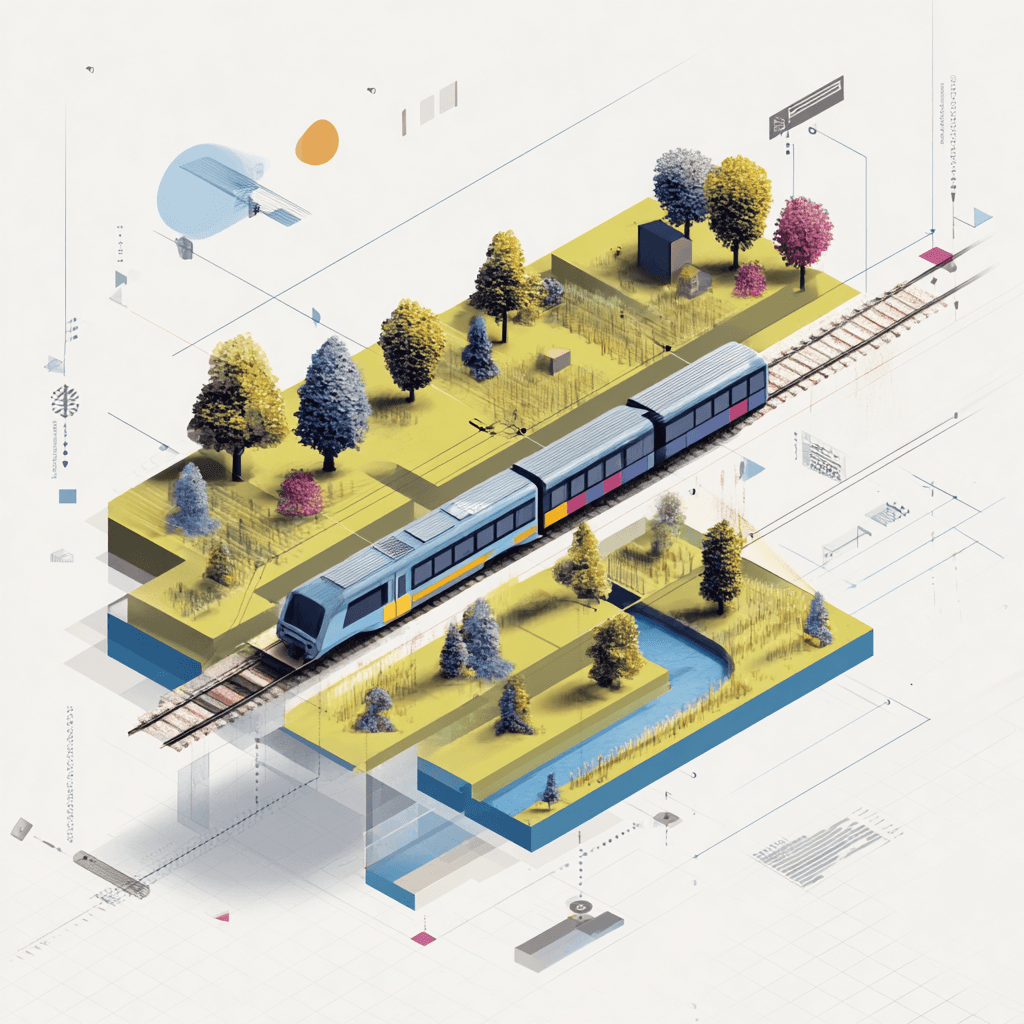
Trains2Green is an interactive map of rural train stations across Britain — places where you can step off the platform and walk straight into the countryside. Explore by travel time, hike length, fare zone, or terrain to plan a Saturday walk that fits the day you have.
Every station on the map links to a curated walk: ridge paths along the North Downs, river valleys in the Chilterns, coastal sections of the South Downs, and quiet woodland loops reachable on a single train from cities across the country.
Built by someone who’d rather be outside. Open the map to start exploring.
Find train stations to escape the city
A day hike in the countryside is just a simple train journey away — explore the most charmingly located railway stations in Britain and plan your next day of green.
Send any comments or questions to nicolas@niczap.design.