Walks you can reach from Chorley by train
MapA day hike is just a simple train journey away — plan your next day of green.

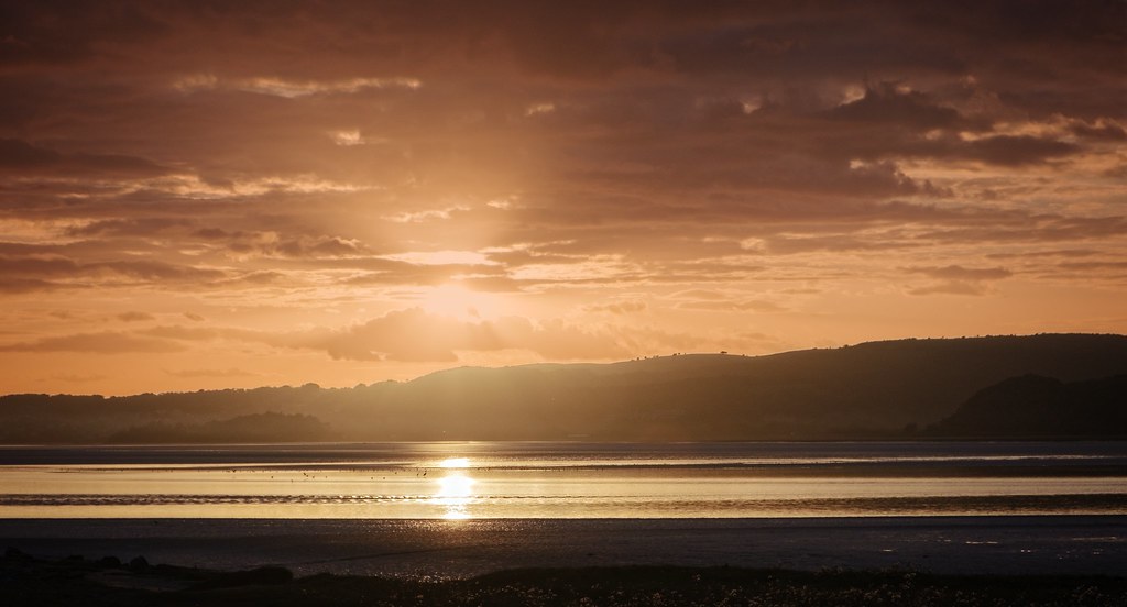
Silverdale Circular via Leighton Moss (Lancashire)
45 minutes direct from Chorley.
Moderate circular across the RSPB Leighton Moss reedbed reserve, with limestone pastures, woodland and the neo-Gothic Leighton Hall.
Leighton Moss: An RSPB reedbed reserve near Silverdale with a visitor centre and birdwatching hides.
Leighton Hall: A neo-Gothic country house near Silverdale with a tea room and parkland.
Walk details: Community Rail Cumbria (PDF).

Arnside Circular via Arnside Knott (Westmorland)
45 minutes direct from Chorley.
Wooded climb to the Arnside Knott summit viewpoint over Morecambe Bay and the southern Lakeland fells, then low cliffs and beach.
Arnside Knott: A wooded limestone hill in the Arnside and Silverdale AONB with a plateau summit giving panoramic views over Morecambe Bay and the southern Lake District fells.
Morecambe Bay: A vast tidal bay of intertidal sands and mudflats overlooked from the cliffs and shore around Arnside.
Time: 2h30
Warnings: Coastal section follows tidal shore; check tide times before walking the beach.
Walk details: Northern Railway (tips, photos, local insights and turn-by-turn directions).
Grange-over-Sands Circular via Eggerslack Wood (Lancashire)
1 hour direct from Chorley.
Hilly woodland circular over the limestone scarp of Paradise Hill above Grange-over-Sands, through Eggerslack Wood and the village of Lindale.
Warnings: Hilly with some wet, grassy paths. A short stretch of the B5271 has no pavement; take care.
Walk details: Community Rail Cumbria (PDF).

Carnforth to Silverdale (Lancashire)
45 minutes direct from Chorley.
Limestone scenery of the Arnside and Silverdale National Landscape: lanes, woodland and outcrops, climbing Warton Crag for sweeping views over Morecambe Bay. Rare butterflies, moths and lizards on the crag.
Time: 2h30
Walk details: Discover Bowland (PDF).

Kents Bank to Grange-over-Sands (Lancashire)
1 hour direct from Chorley.
Hilly walk over limestone uplands and through Eggerslack Wood to the summit of Hampsfell, with wide views over Morecambe Bay.
Hampsfell: A limestone fell above Grange-over-Sands with wide views over Morecambe Bay.
Warnings: Steep climb and a scramble over a wall at the top of Eggerslack Wood; upland ground.
Walk details: Community Rail Cumbria (PDF).

Wennington to Carnforth (Lancashire)
45 minutes direct from Chorley.
Fields, lanes and canal towpath through the Lune valley, past Loyn Bridge near Gressingham, then over Kellet along the Lancaster Canal into Carnforth.
Time: 5h30
Warnings: Strenuous full-day walk; can be split into shorter legs.
Walk details: Community Rail Lancashire (PDF).

Bare Lane to Carnforth (Lancashire)
45 minutes direct from Chorley.
Coast, quiet farmland lanes and the lock-free Lancaster Canal towpath into Carnforth, the station of Brief Encounter fame.
Time: 2h
Walk details: Community Rail Lancashire (PDF).
Similar walk: Railwalks.

Lancaster to Carnforth (Lancashire)
30 minutes direct from Chorley.
Recommended: The magnificent Lune Aqueduct; a canalside view of the sea, with mountains beyond. A long but very easy route, canal towpath nearly all the way, with short street sections at each end and no stiles, gates or steps. The towpath contours above the Lune valley over the magnificent Lune Aqueduct; surface is tarmac (partly broken) or fine gravel and lumpy in places with a couple of short muddy patches and a short cobbled section. Views across the fields, Morecambe Bay and the Lakeland hills; kingfishers sometimes seen. Cafés at St John's Hospice (Lancaster end) and a shoreside café and micropub at Hest Bank.
Waterway: nine tenths along the Lancaster Canal.
Time: 4h–7h30
Lunch: Canalside pubs and a supermarket at Bolton-le-Sands and a canalside pub at Hest Bank.
1 end-of-walk reward: the Canal Turn
Warnings: The towpath surface is lumpy where the tarmac has disintegrated, with a couple of slightly muddy patches.
Walk details: Slow Ways.

Silverdale to Arnside (Lancashire)
45 minutes direct from Chorley.

Gatley to Wilmslow (Cheshire)
45 minutes direct from Chorley.
Recommended: An excellent route. A route with plenty of amenities, passing through parkland on the banks of the Bollin. The first half between Gatley and Nixon's Farm is fine for prams and wheelchairs apart from muddy patches in Scholes Park, but the section from the farm to Wilmslow crosses fields with numerous stiles and kissing gates and rougher terrain. Trains and buses are available at either end and at Heald Green near the middle. The Carrs is a park on the banks of the Bollin in Wilmslow.
Time: 3h–6h
1 lunch spot: Nixon's Farm tea room
Warnings: The section from Nixon's Farm to Wilmslow has numerous stiles, kissing gates and field terrain; Scholes Park is tricky to navigate when muddy.
Walk details: Slow Ways.

Lancaster to Bentham (Lancashire)
30 minutes direct from Chorley.
The views from the trig point (and some distance before and after) are incredible, covering Lancaster, Morecambe Bay, the Lake District, the Yorkshire Dales including Ingleborough, and the Forest of Bowland. A long route over Whit Moor, with remote middle miles of muddy to quite wet peat bog, open access land, trodden moorland tracks and a final well-maintained tarmac cycle track into Lancaster. Stiles, gates and steps and short steep sections. Designed to avoid the wet fields and busy roads of the alternative route. Main facilities are about 5 miles from each end, at Wray and at Brookhouse/Caton. Passes the Halton eco-village, Lune Aqueduct, Priory and Castle into Lancaster.
Lancaster Castle: A medieval castle above the city, long used as a court and prison.
Time: 7h30–14h30
3 lunch spots: the Station pub, licensed café at Wray, or the Woodie's
Warnings: The middle 7 miles are remote and can be wet peat bog; navigation on the moor relies on trodden tracks and waymark posts. The A683 at Brookhouse is fast but has big gaps for safe crossing. Can be muddy.
Walk details: Slow Ways.

Carnforth to Bentham (Lancashire)
45 minutes direct from Chorley.
Wonderful views, especially back towards Ingleborough. Roughly 40% quiet lanes and farm roads (some with pavement, some without) and 60% field paths and farm tracks. Several field sections have no visible trodden path and can be long-grassed, thistly or boggy. Gently undulating with some hills and plus a riverside stretch along the Wenning. Curlews and other wildlife are common in the fields; expect livestock (sheep, occasional cows). Wennington has a station, so the walk can be shortened.
Time: 6h–12h
Lunch: Hornby (around halfway) has shops, a café and a pub.
Warnings: Some field paths are unclear underfoot, so GPS is useful; ground-nesting birds (curlews) may be disturbed in long grass during nesting season. A few road sections have no pavement, and the lane leaving Hornby can be the dodgiest for traffic.
Walk details: Slow Ways.