Walks near Kendal by train
Westmorland · North of England
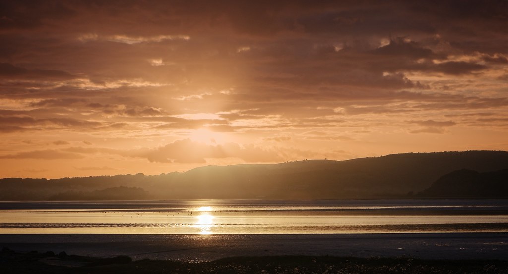
MapA day hike in the countryside is just a simple train journey away — explore the most charmingly located railway stations near Kendal and plan your next day of green.
Alternatively, view walks directly from Kendal.

Clapham to Bentham (Yorkshire)
1 hour from Kendal, with one change.
Dales farmland and open hillside between Clapham and High Bentham, with the bulk of Ingleborough rising alongside.
Ingleborough: One of the Yorkshire Three Peaks, a flat-topped fell dominating the skyline above Clapham.
Time: 2h30
Walk details: Community Rail Lancashire (PDF).

Burneside Circular via Potter Tarn (Westmorland)
4 minutes direct from Kendal.
Mainly hilly circular up to the dammed Potter Tarn and back along the River Kent on the Dales Way, through walled pastures.
Potter Tarn: A reservoir tarn in the hills above Burneside reached on a Dales Way circular.
Time: 3h
Walk details: Community Rail Cumbria (PDF).

Staveley Circular via Cowan Head (Westmorland)
9 minutes direct from Kendal.
Easy, mainly level circular along the River Kent on the Dales Way to the old mill at Cowan Head, through fields and rough pasture.
Time: 2h
Warnings: Some sections may lack way-marks; a map is recommended.
Walk details: Community Rail Cumbria (PDF).

Windermere Circular via Cockshott Point (Westmorland)
15 minutes direct from Kendal.
Easy walk to Lake Windermere's shore at Cockshott Point and, via the car ferry, the 18th-century Claife Viewing Station built for the first tourists.
Claife Viewing Station: An 18th-century purpose-built viewing station on the quieter western shore of Windermere, created for the lake's first tourists to admire the landscape through coloured-glass windows.
Time: 2h30
Warnings: The full loop needs the Windermere car ferry (foot passengers, roughly every 20 minutes); the Cockshott Point section can be done without it.
Walk details: Visit Lake District / Lakes Line Rail User Group (PDF).

Silverdale Circular via Leighton Moss (Lancashire)
45 minutes from Kendal, with one change.
Moderate circular across the RSPB Leighton Moss reedbed reserve, with limestone pastures, woodland and the neo-Gothic Leighton Hall.
Leighton Moss: An RSPB reedbed reserve near Silverdale with a visitor centre and birdwatching hides.
Leighton Hall: A neo-Gothic country house near Silverdale with a tea room and parkland.
Walk details: Community Rail Cumbria (PDF).

Arnside Circular via Arnside Knott (Westmorland)
45 minutes from Kendal, with one change.
Wooded climb to the Arnside Knott summit viewpoint over Morecambe Bay and the southern Lakeland fells, then low cliffs and beach.
Arnside Knott: A wooded limestone hill in the Arnside and Silverdale AONB with a plateau summit giving panoramic views over Morecambe Bay and the southern Lake District fells.
Morecambe Bay: A vast tidal bay of intertidal sands and mudflats overlooked from the cliffs and shore around Arnside.
Time: 2h30
Warnings: Coastal section follows tidal shore; check tide times before walking the beach.
Walk details: Northern Railway (tips, photos, local insights and turn-by-turn directions).
Grange-over-Sands Circular via Eggerslack Wood (Lancashire)
1 hour from Kendal, with one change.
Hilly woodland circular over the limestone scarp of Paradise Hill above Grange-over-Sands, through Eggerslack Wood and the village of Lindale.
Warnings: Hilly with some wet, grassy paths. A short stretch of the B5271 has no pavement; take care.
Walk details: Community Rail Cumbria (PDF).

Bare Lane to Carnforth (Lancashire)
45 minutes from Kendal, with one change.
Coast, quiet farmland lanes and the lock-free Lancaster Canal towpath into Carnforth, the station of Brief Encounter fame.
Time: 2h
Walk details: Community Rail Lancashire (PDF).
Similar walk: Railwalks.

Carnforth to Silverdale (Lancashire)
45 minutes from Kendal, with one change.
Limestone scenery of the Arnside and Silverdale National Landscape: lanes, woodland and outcrops, climbing Warton Crag for sweeping views over Morecambe Bay. Rare butterflies, moths and lizards on the crag.
Time: 2h30
Walk details: Discover Bowland (PDF).

Wennington to Carnforth (Lancashire)
1 hour from Kendal, with one change.
Fields, lanes and canal towpath through the Lune valley, past Loyn Bridge near Gressingham, then over Kellet along the Lancaster Canal into Carnforth.
Time: 5h30
Warnings: Strenuous full-day walk; can be split into shorter legs.
Walk details: Community Rail Lancashire (PDF).

Kents Bank to Grange-over-Sands (Lancashire)
1 hour from Kendal, with one change.
Hilly walk over limestone uplands and through Eggerslack Wood to the summit of Hampsfell, with wide views over Morecambe Bay.
Hampsfell: A limestone fell above Grange-over-Sands with wide views over Morecambe Bay.
Warnings: Steep climb and a scramble over a wall at the top of Eggerslack Wood; upland ground.
Walk details: Community Rail Cumbria (PDF).

Heysham Port to Morecambe (Lancashire)
45 minutes from Kendal, with one change.
Flat coastal path round Morecambe Bay, open Oxcliffe Levels and seafront promenade, with the industrial Heysham power stations and ferry terminal and Lake District views across the tidal sands.
Time: 2h30
Warnings: Heysham Port has only a few trains a day, timed around the Isle of Man ferry.
Walk details: Community Rail Lancashire (PDF).
Similar walk: Railwalks.