Walks near Wakefield by train
Stations: Wakefield Kirkgate · Wakefield Westgate
MapA day hike in the countryside is just a simple train journey away — explore the most charmingly located railway stations near Wakefield and plan your next day of green.
Alternatively, view walks directly from Wakefield.

Derby Circular via Allestree Park (Derbyshire)
1 hour direct from Wakefield Westgate.
Parks, river and heritage trail.
Museum of Making (30m in)
Time: 6h30 (5h walking, 1h30 lunch)
6 lunch spots: Darley Park (1h15 in) — Darley Park Terrace Cafe, the Little Darley in the Park, the Abbey Inn, or the Darleys; plus the Joiners Arms (3h in), or the Orangery Café (4h in)
4 end-of-walk rewards: the Alexandra Hotel, the Brunswick, the Victoria Inn, or the Waterfall
Adapted from: the Leicester Ramblers.
Similar walk: North Staffordshire Community Rail Partnership.

Grindleford Circular via Surprise View (Derbyshire)
45 minutes from Wakefield Westgate, with one change.
Quite possibly the best views in the whole of the Hope Valley. Ancient mixed woodland with rocky brook and footbridges, open moorland and gritstone edge. Detailed route map, photographs and route preview video available.
Hilly: a quarter on high ground, rising above the surrounding land.
Woodland: a third under tree cover.
Time: 3h30 (2h walking, 1h30 lunch)
Walk details: Let's Go Peak District (tips, photos, local insights and turn-by-turn directions).

Hathersage Circular via Stanage Edge (Derbyshire)
45 minutes from Wakefield Westgate, with one change.
Green valley, gritstone escarpment edge, open moorland plateaus, ancient hill fort, narrow wooded gorge with tumbling waterfalls and quiet river pastures.
Time: 7h (5h30 walking, 1h30 lunch)
Warnings: Can be muddy.
Walk details: the Saturday Walkers Club (tips, local insights and turn-by-turn directions).

Hope Circular via Hope Cross (Derbyshire)
1 hour from Wakefield Westgate, with one change.
The most magnificent views of the Hope Valley, the Edale Valley and even into the Derwent Valley. Hill trails over moorland and an old Roman road. Detailed route map, photographs and route preview video available.
Time: 4h30 (3h walking, 1h30 lunch)
Walk details: Let's Go Peak District (tips, photos, local insights and turn-by-turn directions).

Sheffield to Meadowhall Interchange (Yorkshire)
30 minutes direct from Wakefield Westgate.
Flat urban canal towpaths and riverside paths along the Sheffield & Tinsley Canal and Five Weirs Walk, past Victoria Quays and the Tinsley locks. An easy waterside start to the trail.
Victoria Quays: A large canal basin in Sheffield constructed 1816-1819 as the terminus of the Sheffield Canal.
The Sheffield & Tinsley Canal: A canal opened in 1819 to link the city with the navigable River Don, famous for featuring in the opening scenes of the film The Full Monty.
Time: 3h30 (2h walking, 1h30 lunch)
Walk details: Penistone Line Trail / Penistone Line Partnership (PDF).

Sheffield to Bamford (Yorkshire)
30 minutes direct from Wakefield Westgate.
Urban streets, landscaped Victorian cemetery, municipal parkland, narrow wooded valley, open moorland, rugged gritstone edges and a scenic descent into lush valley.
Time: 8h30 (6h30 walking, 1h30 lunch, 30m break)
Warnings: Can be muddy.
Walk details: the Saturday Walkers Club (tips, local insights and turn-by-turn directions).
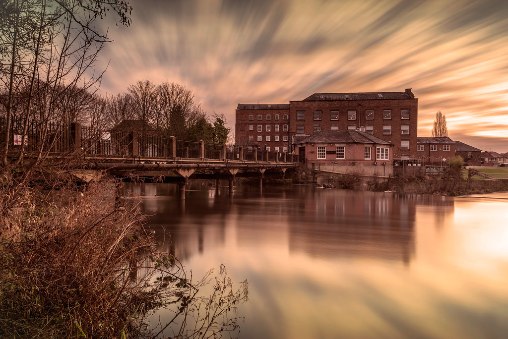
Derby to Long Eaton (Derbyshire)
1 hour direct from Wakefield Westgate.
Waterways — River Derwent, Derby & Sandiacre Canal and Erewash Canal.
Time: 7h (5h30 walking, 1h30 lunch)
2 lunch spots: Canal Cottage Cafe (2h45 in), or the Navigation (3h15 in)
2 end-of-walk rewards: Peking House, or the Sawley Junction
Adapted from: the Leicester Ramblers.

Derby to Peartree (Derbyshire)
1 hour direct from Wakefield Westgate.
Largely urban walking on pavements and a riverside path, through parks and along the line of the Derby Canal.
Time: 4h (2h30 walking, 1h30 lunch)
1 lunch spot: Waterside Café
Warnings: Only a few trains a day call at Peartree.
Walk details: North Staffordshire Community Rail Partnership (tips and turn-by-turn directions).

Derby to Nottingham (Derbyshire)
1 hour direct from Wakefield Westgate.
Mixture of off-road cycle path and on-road sections. Part of the longer London-to-Lake-District route.
Time: 8h30 (7h walking, 1h30 lunch)
Walk details: Derwent Valley Line Community Rail Partnership (local insights).

Penistone to Denby Dale (Yorkshire)
30 minutes from Wakefield Kirkgate, with one change.
The hidden Gunthwaite valley, bridleways and a packhorse bridge, past the 16th-century Gunthwaite cruck barn and 29-arch Penistone Viaduct, ending at the 'Pie Village' of Denby Dale. The trail's longest section.
Gunthwaite Hall barn: A 16th-century Grade I listed close-studded cruck tithe barn still in agricultural use today.
Denby Dale Viaduct: A 21-arch stone railway viaduct opened in 1880, built alongside an earlier timber viaduct of cobweb appearance.
Time: 4h (2h30 walking, 1h30 lunch)
Warnings: Steps onto Acre Lane can be overgrown.
Walk details: Penistone Line Trail / Penistone Line Partnership (PDF).

Hathersage to Bamford (Derbyshire)
45 minutes from Wakefield Westgate, with one change.
Gritstone edges, open moorland, pastures with views, ancient oak woods, plantation woods, reservoir shore and Hope Valley.
Time: 8h30 (6h30 walking, 1h30 lunch, 30m break)
Warnings: Steep descents.
Walk details: the Saturday Walkers Club (tips, local insights and turn-by-turn directions).

Bamford to Grindleford (Derbyshire)
1 hour from Wakefield Westgate, with one change.
Spectacular gritstone Stanage Edge. Gritstone edges including Stanage Edge and Burbage Edge, moorland, woodland and riverside paths. Gritstone edges carved by ice age glaciers; historically used for millstone quarrying. Pride and Prejudice film location.
Hilly: three fifths on high ground, rising above the surrounding land.
Time: 6h30 (5h walking, 1h30 lunch)
Warnings: Hard terrain; rocky gritstone boulders to traverse.
Walk details: Walk Midlands (tips, photos and local insights).