Walks from Gillingham
MapSet out on beautiful walks directly from Gillingham Station.
Alternatively, view walks near Gillingham by train.
Gillingham to Sittingbourne
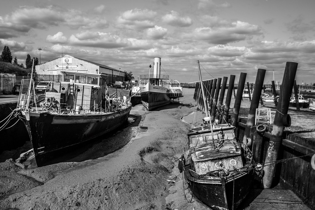
Recommended: Lovely views out over the marshes. A lovely, varied route through woods, fields, gentle hills, orchards and a river estuary, with small sections of mostly safe road walking. The first half is farmland over very gentle hills; the second follows the Medway estuary on the England Coast Trail, with lovely views over the marshes and mudflats. Quite a lot of tarmac and with some muddy parts and slanted cycle gates. The estuary section is on the England Coast Trail. Optional detour along a causeway to 'Horrid Hill'. Break points at Borden, Newington, Rainham, Riverside Country Park and the Strand leisure area.
Time: 5h30–11h
Lunch: Break points with pubs/shops at Borden, Newington and Rainham; cafes and toilets at Riverside Country Park and the Strand.
Warnings: Steps, stiles and gates throughout, plus slanted cycle gates along the estuary. A field path beyond Newington was not reinstated across crops. Care crossing main roads.
Walk details: Slow Ways.

Gillingham to Rainham

Gillingham to Queenborough
Recommended: The close up views of salt marshes and mud flats of the Medway and Swale, made all the more atmospheric by the distant industrial structures. A long, three-part coastal and estuary route: first a wide, popular path right by the Medway estuary coastline with great views; then field paths and quiet lanes on higher ground with views inland and across the estuary; finally a freshly opened section of the England Coast Path on the Isle of Sheppey. Some informal/permissive paths, deep ruts hidden under long grass and possible high-tide flooding. Uses the England Coast Path. Salt marshes and mudflats are important nesting sites for coastal birds and rare plants. Can be broken at Rainham, Lower Halstow, Iwade or Swale station; the Sheppey line has five stations.
Coastal: three quarters along the coast.
Time: 6h30–13h
Lunch: Toilets and cafes at the Strand in Gillingham and in Riverside Country Park; pubs on Lower Rainham Road; pubs and shops at Lower Halstow and Iwade.
Warnings: The England Coast Path section on Sheppey had unfinished waymarkers and crosses ground with deep ruts hidden under long grass. Some high-tide saltmarsh paths may flood.
Walk details: Slow Ways.