Walks from Queenborough
MapBeautiful walks starting or ending at Queenborough Station.
Alternatively, view walks you can reach directly from Queenborough by train.
Gillingham to Queenborough
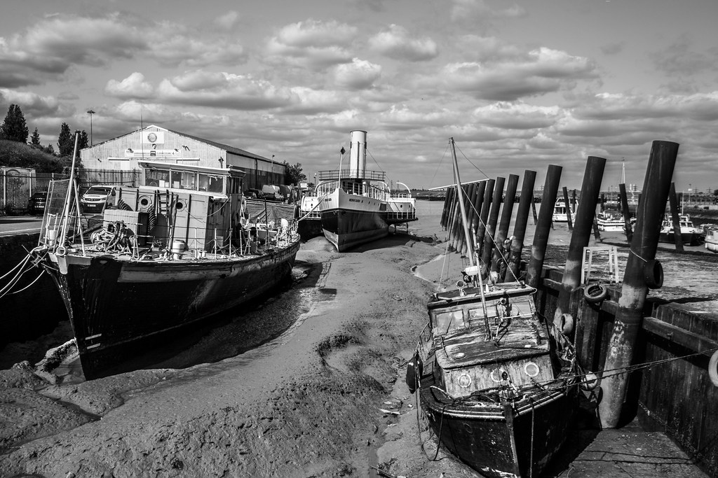
Recommended: The close up views of salt marshes and mud flats of the Medway and Swale, made all the more atmospheric by the distant industrial structures. A long, three-part coastal and estuary route: first a wide, popular path right by the Medway estuary coastline with great views; then field paths and quiet lanes on higher ground with views inland and across the estuary; finally a freshly opened section of the England Coast Path on the Isle of Sheppey. Some informal/permissive paths, deep ruts hidden under long grass and possible high-tide flooding. Uses the England Coast Path. Salt marshes and mudflats are important nesting sites for coastal birds and rare plants. Can be broken at Rainham, Lower Halstow, Iwade or Swale station; the Sheppey line has five stations.
Coastal: three quarters along the coast.
Time: 6h30–13h
Lunch: Toilets and cafes at the Strand in Gillingham and in Riverside Country Park; pubs on Lower Rainham Road; pubs and shops at Lower Halstow and Iwade.
Warnings: The England Coast Path section on Sheppey had unfinished waymarkers and crosses ground with deep ruts hidden under long grass. Some high-tide saltmarsh paths may flood.
Walk details: Slow Ways.

Queenborough to Faversham
An unavoidably long route through grazing marsh, freshwater pools, saltwater creeks, orchards and urban green spaces and quiet country lanes. Mostly flat; some sections can be soggy and waterlogged but doable with high boots. Passes through the Swale RAMSAR site with important bird populations; a high density of fruit orchards makes it good for spring blossom; lots of pitstop and public-transport options; you may see the Kingsferry Bridge spans lift.
Time: 7h30–15h
1 lunch spot: the Ship Inn
Warnings: Some parts of the route can be very waterlogged.
Walk details: Slow Ways.

Sittingbourne to Queenborough
About 40% off-road on field footpaths, very flat with a few gentle slopes and plus the coastal path on Sheppey and a maze-like path through an orchard. Fields can be soggy or sticky in wet weather but passable; there are kissing gates. Uses the newly opened England Coast Path between Kingsferry Bridge and Rushenden; good views over the Swale from Kingsferry Bridge, where you may see the bridge lift for shipping.
Time: 3h30–7h
Warnings: Follows a busy road for a quarter of the walk. A fair bit of unavoidable road walking on the Isle of Sheppey, some without pavement; a large pool of deep water can block the official England Coast Path entrance north of Rushenden; beware splintered wooden step covers on the coastal section.
Walk details: Slow Ways.