Gillingham to Queenborough
A station-to-station walkKentSouth East England
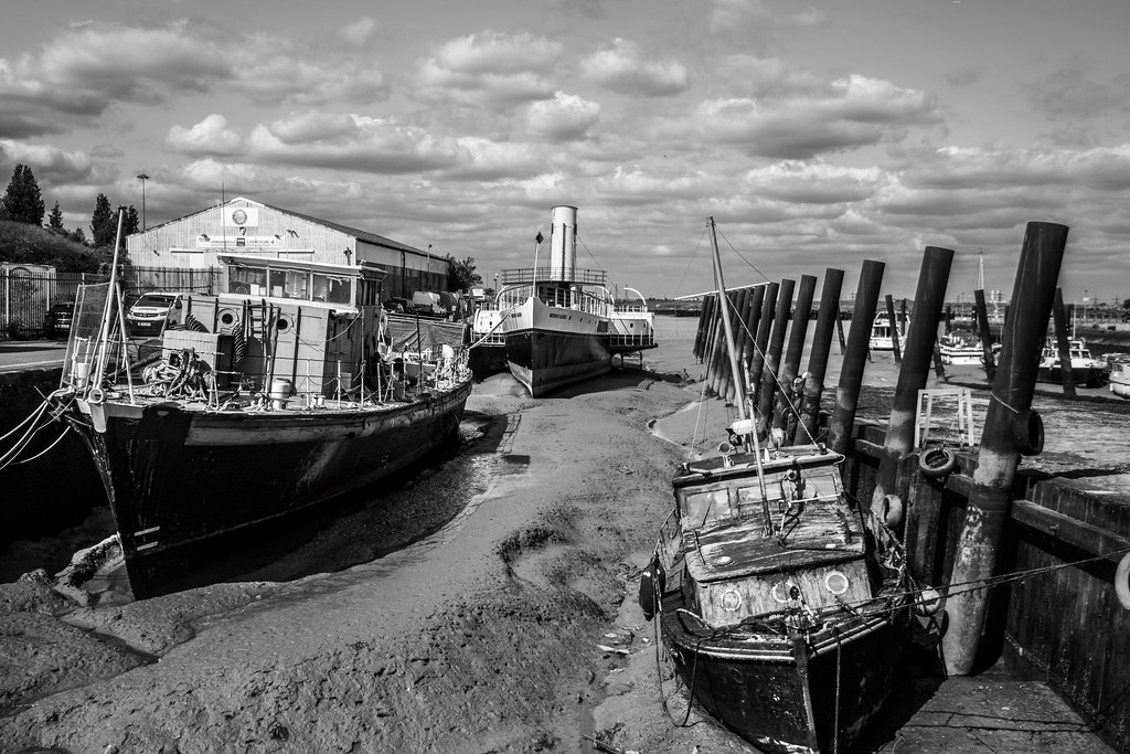
Recommended: The close up views of salt marshes and mud flats of the Medway and Swale, made all the more atmospheric by the distant industrial structures. A long, three-part coastal and estuary route: first a wide, popular path right by the Medway estuary coastline with great views; then field paths and quiet lanes on higher ground with views inland and across the estuary; finally a freshly opened section of the England Coast Path on the Isle of Sheppey. Some informal/permissive paths, deep ruts hidden under long grass and possible high-tide flooding. Uses the England Coast Path. Salt marshes and mudflats are important nesting sites for coastal birds and rare plants. Can be broken at Rainham, Lower Halstow, Iwade or Swale station; the Sheppey line has five stations.
Coastal: three quarters along the coast.
Lunch: Toilets and cafes at the Strand in Gillingham and in Riverside Country Park; pubs on Lower Rainham Road; pubs and shops at Lower Halstow and Iwade.
Warnings: The England Coast Path section on Sheppey had unfinished waymarkers and crosses ground with deep ruts hidden under long grass. Some high-tide saltmarsh paths may flood.

Credits
Walk details: Slow Ways.