Walks you can reach from James Cook by train
MapA day hike is just a simple train journey away — plan your next day of green.

Horden to Hartlepool (Durham)
45 minutes direct from James Cook.
Recommended: A varied route through nature reserves and beaches.
Coastal: four fifths along the coast.
Time: 7h30 (6h walking, 1h30 lunch)
Warnings: About two miles around the port alongside a main road.
Walk details: Railwalks.

Seaham to Horden (Durham)
1 hour direct from James Cook.
Recommended: A quiet walk, separated from built-up areas, with several steep climbs and descents.
Coastal: nine tenths along the coast.
Durham Coast (National Trust)
Time: 6h (4h30 walking, 1h30 lunch)
Lunch: No food or drink en route after Seaham.
Warnings: Several steep climbs and descents.
Walk details: Railwalks.

Sunderland to Seaham (Durham)
1 hour direct from James Cook.
Recommended: Scenic for most of its length, with a choice of walking high, low, or on the beach.
Coastal: four fifths along the coast.
Time: 5h (3h30 walking, 1h30 lunch)
Walk details: Railwalks.

Stockton to Middlesbrough (Durham)
15 minutes direct from James Cook.
Recommended: A direct town-centre-to-town-centre route, under 20% on roads with the rest flat and well-surfaced tarmac path mostly along the riverside. Passes through a semi-industrial landscape and runs close to the river.
Waterway: two thirds along the River Tees.
Time: 3h30 (2h walking, 1h30 lunch)
Warnings: Follows a busy road for a sixth of the walk.
Walk details: Slow Ways.
Danby to Whitby (Yorkshire)
45 minutes direct from James Cook.
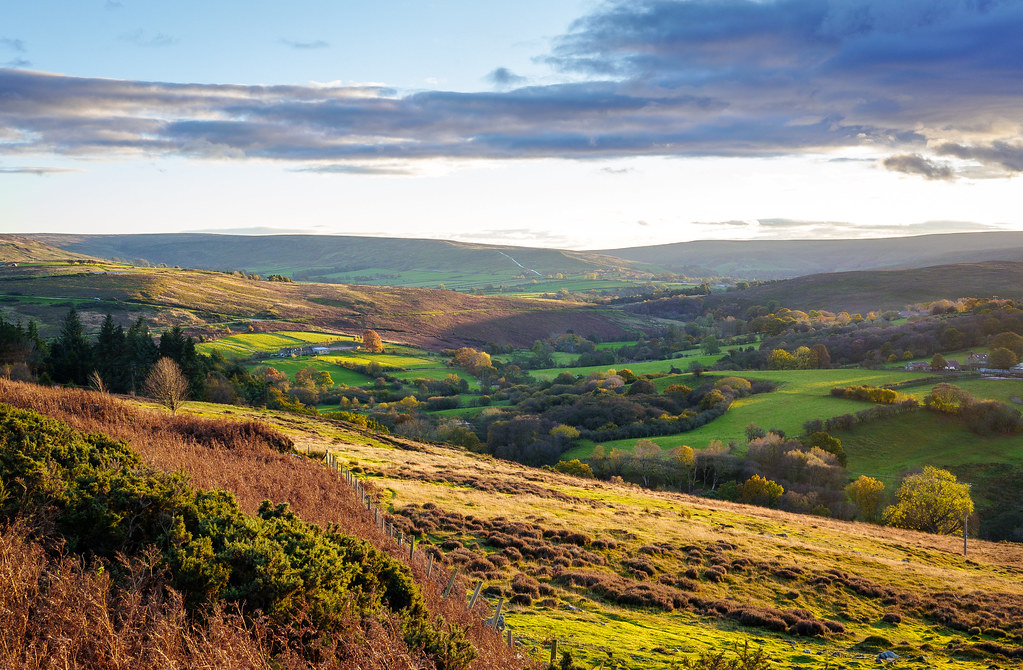
Recommended: One of the most scenic areas of North Yorkshire, spectacular, truly lovely riverside path. An excellent, scenic rural route through one of the most scenic areas of North Yorkshire, closely following the Esk Valley Path with a lovely riverside path either side of Glaisdale and spectacular views across the Esk Valley west of Sleights. The path can get very muddy in bad weather, there is quite a bit of road walking on quiet lanes and with some occasionally steep and slippery sections. Closely follows the Esk Valley Path and is well signposted. Can easily be split into two sections, Danby to Grosmont and Grosmont to Whitby, using the railway, though the train service is infrequent and refreshment stops are limited, so pre-planning helps.
Time: 10h30 (8h walking, 1h30 lunch, 1h break)
Lunch: The choice of refreshment stops is quite limited, especially out of season.
Warnings: The path can very easily get muddy in bad weather, especially between Danby station and Danby Beacon and between Sleights and Ruswarp in winter. Take care crossing the busy A169 at Sleights Bridge and the A171 just outside Whitby.
Walk details: Slow Ways.

Yarm to Stockton (Yorkshire)
15 minutes direct from James Cook.

Billingham to Hartlepool (Durham)
30 minutes direct from James Cook.
A lengthy route with substantial pavement sections at the start and end and narrow countryside footpaths in between. The section around Cowpen Bewley Woodland Park is the nicest but also the most challenging terrain. Can be muddy when wet.
Time: 5h30 (4h walking, 1h30 lunch)
Warnings: The route crosses the busy A689; the safer crossing point is slightly east of the line shown, at the traffic lights. Can be muddy.
Walk details: Slow Ways.

Darlington to Stockton (Durham)
15 minutes direct from James Cook.
Time: 8h (6h walking, 1h30 lunch, 30m break)
Warnings: A track between roughly NZ4003 1630 and NZ4036 1628 may be blocked and impossible to walk; be prepared to divert.
Walk details: Slow Ways.