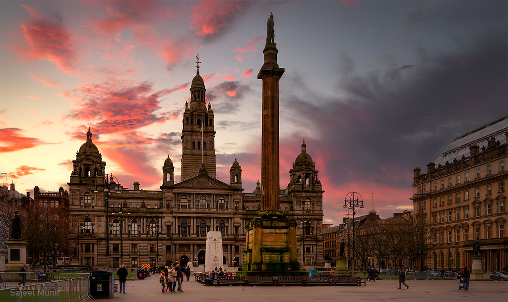
Best walks in Lanarkshire by train

Scotland

Map

A day hike in the countryside is just a simple train journey away — explore the most charmingly located railway stations in Lanarkshire and plan your next day of green.

Glasgow Central Station to Shettleston Station

A very direct, varied urban walk full of contrasts, mixing main roads, residential streets, high streets, footpaths, parks and greenspaces through old and new and upmarket and downmarket neighbourhoods. Some steps at the Shettleston end. Passes the Hovis factory and over the St Enoch subway station; intersects many bus routes.

Easy: 7km, moderate ascents.

The wooded entrance to Greenfield Recreation Ground may feel daunting for solo walkers at quiet times. Some steps, including at Shettleston station.

Lunch: Many shops, cafés, takeaways and restaurants, especially around Glasgow Central and Argyle Street; a wide choice of eating around the halfway point near Duke Street, then options thin out until Shettleston.

Documented by Slow Waysdownload GPX route

Pollokshields East Station to Rutherglen Station

5m direct from Glasgow Central.

An urban route making good use of green spaces and easy underfoot but noisy from traffic. Some very uneven paving on Cathcart Road. A housing development at the eastern end of Toryglen Park may require a short diversion.

Easy: 4km, gentle ascents.

Very uneven paving on Cathcart Road may be hazardous; busy road crossings at Victoria Road and Aitkenhead Road.

Lunch: Refreshments available around the start and end of the route.

Documented by Slow Waysdownload GPX route

Rutherglen Station to Cambuslang Station

8m direct from Glasgow Central.

A short, very straightforward walk following the main road between the two town centres, slightly uphill into Cambuslang. Noisy and not especially scenic and with many side roads to cross. The Clyde Walkway offers a longer, quieter alternative.

Easy: 2km, moderate ascents.

Follows a busy main road with numerous side-road crossings.

Documented by Slow Waysdownload GPX route

East Kilbride Station to Cambuslang Station

8m direct from Glasgow Central.

A straightforward route running largely beside a busy dual carriageway and with a lovely stretch through Kirkhill golf course offering views over the city.

Easy: 7km, gentle ascents.

The dual carriageway has to be crossed a couple of times; use the controlled crossings.

Documented by Slow Waysdownload GPX route

Uddingston Station to Hamilton West Station

15m direct from Glasgow Central.

Tarmac and compacted-earth riverside footpaths (sometimes narrow) with good views over the river and plus longer stretches of pavement through Bothwell and a retail park. A varied route with an uphill finish. Follows the Clyde Walkway / National Cycle Route 75 along the riverside. Bothwell Castle was undergoing extensive restoration and closed to visitors (Sept 2022).

Easy: 9km, moderate ascents.

The riverside sections can feel isolated and may become muddy after rain.

Documented by Slow Waysdownload GPX route

Bellshill Station to Airdrie Station

15m direct from Glasgow Central.

A combination of paths and roads and off-road tracks with few climbs.

Easy: 7km, moderate ascents.

Documented by Slow Waysdownload GPX route

Motherwell Station to Holytown Station

15m direct from Glasgow Central.

Short route through New Stevenston and Riccard Johnston Park, then a wooded track around the golf course (stony underfoot, sturdy shoes advised) down to South Calder Water and before joining the well-surfaced Motherwell Green Link into town. Quiet and remote in the middle. The final stretch follows the Motherwell Green Link footpath into the town centre.

Easy: 3km, moderate ascents.

The wooded track around Colville Park Golf Course is remote, unlit and rough underfoot in places (some very rough hardcore); it may not suit all travellers walking alone.

Documented by Slow Waysdownload GPX route

Airdrie Station to Holytown Station

15m direct from Glasgow Central.

Residential streets and a well-surfaced cycle track give way to rough, potentially muddy unsurfaced paths, then the attractive North Calder Heritage Trail beside an abandoned canal, before busy roads into Holytown. Urban at both ends and attractive in the middle. Follows the North Calder Heritage Trail for about 2km, with the abandoned canal on one side and the North Calder river on the other.

Easy: 8km, moderate ascents.

A middle section over rough ground via unsurfaced, potentially muddy and isolated paths needs care (boots advised; cyclists may struggle). The section along the B802 and Bo'ness Road through roundabouts into Holytown is very busy and noisy (though with a good wide pavement). The mapped route was closed by a temporary barrier at Holytown, requiring a short diversion via Melrose Avenue.

Documented by Slow Waysdownload GPX route

Busby Station to Rutherglen Station

15m direct from Glasgow Central.

striking views of the city, Campsie Hills and higher peaks beyond; excellent views to the south west with the peaks of Arran visible in the distance. A varied walk on mostly quiet roads, pavements and footpaths and climbing through farmland to the open paths and viewpoints of Cathkin Braes before descending through woodland (muddy in places) and parks into Rutherglen.

Easy: 9km, moderate ascents.

The wooded descent from the country park to Tormusk Road can feel remote when walking alone; the final stretch crosses the busy Stonelaw Road. Can be muddy.

Documented by Slow Waysdownload GPX route

Hamilton West Station to Larkhall Station

30m direct from Glasgow Central.

Wide pavements through Hamilton give way to a well-surfaced wooded cycle track, then long, undulating riverside paths along the Clyde and River Avon through wooded gorge and countryside. Moderately demanding with frequent changes of gradient, some steep steps and muddy sections. Passes through Chatelherault Country Park; a road alternative reaches Chatelherault House (with cafe and excellent views) avoiding woodland steps. The narrow Millheugh Steps can be bypassed via Sunnyside.

Tough: steep ascents. 12km.

After crossing the busy Bothwell Road, the riverside gorge path undulates with some steep steps. The route wrongly suggests access to the Duke's Bridge from the path below; leave the riverside about 1km earlier (signposted). A muddy path leads into Larkhall near the finish.

Documented by Slow Waysdownload GPX route

Carluke Station to Lanark Station

30m direct from Glasgow Central.

A lovely rural path for the most part, with a small section of deep puddles and mud that persists even after a dry spell, two farm crossings (one requiring a gate climb) and a very steep section towards the end.

Tough: steep ascents. 9km.

A small section has deep puddles and mud even after a dry fortnight. The route crosses through two farms, with a gate to climb at the second. Very steep towards the end.

Documented by Slow Waysdownload GPX route

East Kilbride Station to Uddingston Station

30m direct from Glasgow Central.

some beautiful stretches. Some beautiful stretches through Greenhall Park and along the Clyde and with a path parallel to Stoneymeadow Road. A river crossing and the descent to the Clyde can be problematic.

11km. Moderate ascents.

The Rotten Calder crossing in Greenhall Park is only passable when the river is low (otherwise continue to the road via a slight scramble); the path down to the Clyde is unclear and can be very overgrown with nettles and brambles.

Documented by Slow Waysdownload GPX route

More walks by train