Walks in Hampshire by train
MapA day hike in the countryside is just a simple train journey away — explore the most charmingly located railway stations in Hampshire and plan your next day of green.

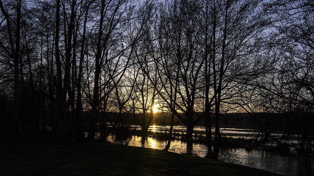
Bentley to Farnham
1 hour 30 minutes from Southampton Central, with one change.
Highly recommended: Ancient forests, heathland ridges, Scots pine, heather, large ponds with swimming, remote commons and quiet woodland paths and lanes.
Woodland: half under tree cover.
The Devil's Jumps
Time: 6h30–13h30
1 lunch spot: the Bel & The Dragon (3h30–6h30 in)
Warnings: MOD closures apply.
Source: Trains2Green.
Similar walk: the Saturday Walkers Club.
Reverse direction: Blackwater Valley Nature Walks.

Lymington Town to Brockenhurst
15 minutes direct from Southampton Central.
Recommended
Time: 3h30–7h
1 lunch spot: the Fleur de Lys (1h–1h30 in)
2 end-of-walk rewards: the Snakecatcher Pub, or the Huntsman
Warnings: Can be EXTREME mud in Lymington Reeds Beds Nature Reserve.
Adapted from: The Rough Guide to Walks in London & the South East (3rd edition).
Reverse direction: the Saturday Walkers Club and Slow Ways (inc. GPX).

Alton Circular via Windmill Hill
1 hour 30 minutes from Southampton Central, with one change.
An 11-mile ramble over the six hills ringing Alton, with farmland, woodland near Monk Wood, the River Wey and the Hangers Way, gateway to the South Downs.
Warnings: Includes a subway crossing under the A31 and field-edge paths that may be muddy.
Walk details: Wey Valley Community Rail Partnership (PDF).

Liphook to Haslemere
1 hour 15 minutes from Southampton Central, with one change.
Mixed oak, beech and chestnut woods, bridleways, streams, open countryside, horse paddocks and a final climb into a market town.
Woodland: half under tree cover.
Time: 4h–8h30
2 lunch spots: Fernhurst (2h30–5h in) — the Red Lion Pub, or the Fern Café
1 end-of-walk reward: the Harper's Steakhouse
Warnings: Can be muddy.
Adapted from: Time Out Country Walks Volume 1.
Similar walks: the Saturday Walkers Club and Slow Ways (inc. GPX).

Blackwater to Wokingham
1 hour from Southampton Central, with one change.
River meadows, gravel-pit lakes, nature reserves, country lanes, mixed and pine woodland, heathland, golf course, soft fruit farms and historic market town.
Time: 6h
Warnings: Flood risk in places.
Walk details: the Saturday Walkers Club (tips, local insights and turn-by-turn directions).

Ashurst New Forest Circular via Lyndhurst
15 minutes direct from Southampton Central.
Heath and forest inclosures skirting a golf course, between the villages of Lyndhurst and Ashurst. Strenuous.
Warnings: Tracks can be muddy after wet weather; watch for stray golf balls.
Walk details: New Forest Walks (tips, photos, local insights and turn-by-turn directions).

Winchester Circular via Wolvesey Palace
15 minutes direct from Southampton Central.
Historic cathedral city streets, watermeadows, iron age hillfort, downland ridges, river valley and ancient meadows.
Warnings: M3 motorway noise.
Walk details: the Saturday Walkers Club (tips, local insights and turn-by-turn directions).

Overton Circular via Steventon
45 minutes from Southampton Central, with one change.
Gently undulating chalk hills, clear river, quaint churches, country houses, farmland and quiet lanes.
Walk details: the Saturday Walkers Club (tips, local insights and turn-by-turn directions).

Fleet Circular via Tweseldown Racecourse
45 minutes from Southampton Central, with one change.
Heathland, woodland, military training lands, levada water channel, canal towpath, residential outskirts and nature reserves.
Time: 4h30
Warnings: MoD closures apply.
Walk details: the Saturday Walkers Club (tips, local insights and turn-by-turn directions).

Rowlands Castle Circular via Hooksway
45 minutes from Southampton Central, with one change.
Park- and woodland, steep lonely valleys, open fields, hamlets, beech avenue and South Downs escarpment views.
Time: 6h
Warnings: Steep climbs and descents.
Walk details: the Saturday Walkers Club (tips, local insights and turn-by-turn directions).

St Denys to Chandler's Ford
5 minutes direct from Southampton Central.
River Itchen and Monks Brook with little road walking — Riverside Park, woodland, North Stoneham Park and waterside meadows.
Time: 3h
Warnings: Four stiles; can be muddy in places; not suitable for wheelchairs or pushchairs; take care at road crossings.
Walk details: Three Rivers Community Rail Partnership (PDF).
Romsey to Chandler's Ford
15 minutes direct from Southampton Central.
Hampshire countryside and quiet lanes — a canal path, Tadburn Meadows, the boardwalks of Emer Bog and Knight Wood.
Time: 3h
Warnings: Nine stiles; can be boggy after wet weather; not suitable for wheelchairs or pushchairs; take care at road crossings.
Walk details: Three Rivers Community Rail Partnership (PDF).