Walks from Eastleigh
Hampshire · South East England
MapBeautiful walks starting or ending at Eastleigh Station.
Alternatively, view walks near Eastleigh by train.
Romsey to Eastleigh
Baddesley Common was gorgeous; the next stretch, through Knight Wood, was wonderful. A varied route mixing tarmac with footpaths, woods and countryside, including Tadburn meadows nature reserve, Baddesley Common and Knight Wood. A few stiles and gates; the common can be wet and muddy after rain and the final suburban miles run near the M3.
Woodland: a third under tree cover.
Time: 3h30–7h
Warnings: A quarter urban. Flexford Road is a nasty stretch with almost no refuge from frequent traffic and no footpath; an alternative via Fleming Park avoids it. The bridge over Monk's Brook near Chandler's Ford may be broken and closed, requiring a short diversion. Stiles and gates on North Baddesley Common.
Walk details: Slow Ways.

Eastleigh to Winchester

Southampton Central to Eastleigh
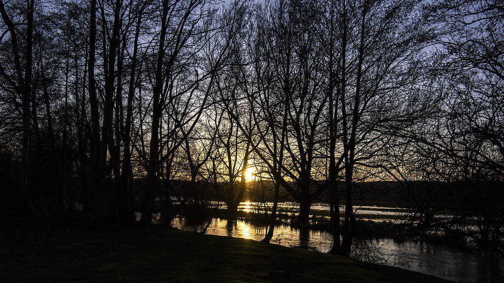
A beautiful way of entering Southampton; all the way to Eastleigh which is delightful. Easy walking on roads and surfaced paths through parks at first, then an open riverside stretch along the Itchen before a pleasant woodland walk following the Itchen Navigation. The towpath becomes narrow, overgrown and tricky in places and can get very muddy or flooded in wet weather. Follows the Itchen Way along the route of the Itchen Navigation. Refreshment facilities accessible at Itchen Valley Country Park.
Time: 3h30–7h30
Lunch: Refreshment facilities at Itchen Valley Country Park.
Warnings: The Itchen Navigation towpath is narrow, overgrown and neglected in places, with obstacles and dense vegetation; cover arms and legs against nettles and consider boots, as long grass can be wet. The river path can flood in winter. Loud aircraft noise where the route passes beneath Southampton Airport's flight path by the M27. Can be muddy.
Walk details: Slow Ways.