Best walks to or from Totton
Hampshire · South East England | Walks by train
MapBeautiful walks starting or ending at Totton Station.
Totton Station to Southampton Central Station
A practical, mostly flat urban route hugging the busy A33, largely following cycle path and pavement through residential, commercial and light industrial areas. A short and steep climb up from Southampton Central station. The crossing of the River Test offers the best of the walk. Largely follows part of route 236 of the National Cycle Network. The most direct walking route between the two towns, with good bus and train links if you'd rather not walk it.
Easy: 5km, gentle ascents.
A short but steep climb up from Southampton Central station. The route runs beside the busy multi-lane A33 for most of its length, so it is noisy and the air is not the cleanest, though there is good separation from traffic.
Lunch: Little in the way of refreshments along the main stretch apart from a mobile food cart, though fast food outlets lie across the A33.
Good facilities at Southampton Central, and various amenities including a public toilet in Totton.
Documented by Slow Ways — download GPX route
Brockenhurst Station to Totton Station
I loved the views, forest, ponies and stars. A beautiful but mixed route through the New Forest, with great vistas, forest and lots of ponies, plus stargazing potential. About 4km in and out of Totton is on paths beside the busy A35; the forest paths can be indistinct (fallen trees and woodland growth) and the route floods south of Ashurst Lodge on the Beaulieu River after heavy or extended rain. Crosses the New Forest National Park; New Forest ponies roam freely. A wet-weather alternative via Churchplace Inclosure could avoid the flooding.
15km.
The path floods south of Ashurst Lodge on the Beaulieu River after heavy or extended rain. The path through Matley Wood is indistinct at times due to fallen trees. About 4km on paths beside the busy A35. Can be muddy.
Documented by Slow Ways — download GPX route
Romsey Station to Totton Station
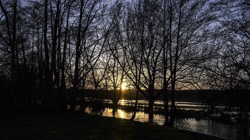
Beautiful low-lying test valley walk. A low-lying Test valley walk on field paths, quiet lanes and a riverside boardwalk and with woodland and pasture. Largely flat but uneven and prone to mud and seasonal flooding; numerous kissing gates. Follows the Test Way, passing the edge of the Broadlands estate. Best walked mid-spring to mid-autumn; winter flooding can make it impassable.
Easy: 12km, gentle ascents.
The Test Way south of Romsey floods deeply in winter and can be impassable; the riverside boardwalk near Totton has a section of deep mud/bog and has been subject to closure. A short stretch on Station Road at Nursling has no footpath, and the approach into Romsey has no safe crossing of a busy road. Numerous kissing gates and stiles.