Walks from Winchester
Hampshire · South East England
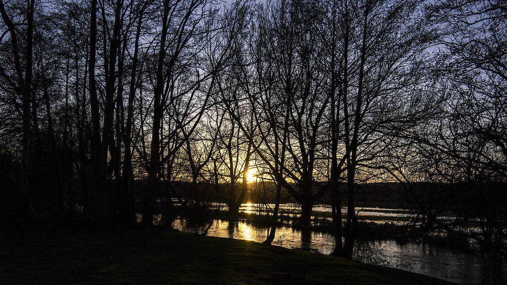
MapBeautiful walks starting or ending at Winchester Station.
Alternatively, view walks near Winchester by train.

Winchester Circular via Wolvesey Palace
Historic cathedral city streets, watermeadows, iron age hillfort, downland ridges, river valley and ancient meadows.
Warnings: M3 motorway noise.
Walk details: the Saturday Walkers Club (tips, local insights and turn-by-turn directions).

Winchester to Micheldever
A long walk leaving Winchester via Riverside Park along the River Itchen, then following the Watercress Way and the route of former railways across rolling Hampshire farmland to Micheldever Station. Mostly farm tracks, quiet lanes and good-quality paths, with a short wooded stretch by the railway; some sections muddy or overgrown and plus a few stiles. Shares the route of the St Swithun's Way and Camino Inglés (St James Way) leaving Winchester, then follows the former Didcot, Newbury and Southampton railway. Passes Winnall Moors Nature Reserve on the western edge of the South Downs National Park, with many helpful information boards. Direct hourly train links Micheldever and Winchester (about 9 minutes); the station is 0.2 miles beyond the village sign.
Woodland: a quarter under tree cover.
Time: 5h30–10h30
Lunch: A farm shop (Cobbs/Cobbs farm shop) early on for coffee and snacks; otherwise few facilities — Kings Worthy is the last main settlement, with plenty of spots for a picnic en route.
Warnings: Walkers only. A few road sections (notably Old Stoke Road) are straight with good visibility but lack pavement, so you may need to press into the hedge. One narrow path runs parallel to the railway with a steep drop-off; watch for easily-missed steps. Cattle in some fields. Easy to miss turns off the disused railway lines.
Walk details: Slow Ways.
Romsey to Winchester
A gorgeous route; Beautiful, flat walk through the water meadows; Stunning views. After a dull few kilometres on pavement beside the main road out of Romsey, the route becomes a pleasant walk on forestry tracks, woodland paths and field boundaries through water meadows, with a steady climb and finishing alongside the Itchen into Winchester. Some rough terrain and narrow gaps. Within the South Downs area, passing Ampfield Wood, Hursley Forest and the Itchen water meadows.
Woodland: two fifths under tree cover.
Time: 5h–10h
Lunch: Two pubs and a small shop at Hursley (midway), and a tea room at St Cross on the edge of Winchester.
Warnings: A busy road crossing near Badger Farm (Winchester) is best made at a nearby footbridge; a narrow footbridge over the mainline railway near St Cross makes the route walkers-only. Woods can be muddy in winter.
Walk details: Slow Ways.

Eastleigh to Winchester

Winchester Circular via Winchester Cathedral & Wolvesey Castle
Historic cathedral city streets, watermeadows, iron age hillfort, downland ridges, river valley and ancient meadows.
Warnings: M3 motorway noise.
Source: A shorter variant of Winchester Circular – the Saturday Walkers Club (tips, local insights and turn-by-turn directions).

Winchester to Shawford
Historic cathedral city streets, watermeadows, iron age hillfort and river valley.
Warnings: M3 motorway noise.
Source: A shorter variant of Winchester Circular – the Saturday Walkers Club (tips, local insights and turn-by-turn directions).