Walks from Kidderminster
Worcestershire · West Midlands
MapBeautiful walks starting or ending at Kidderminster Station.
Alternatively, view walks near Kidderminster by train.

Kidderminster to Stourbridge Town
Dramatic and beautiful edge (Kinver Edge). Hilly, wooded, red sandstone landscape and largely along canal towpaths. Walk traverses three counties across a landscape shaped by 17th-century glass, brick, and pottery industries powered by coal from nearby collieries.
Waterway: nine tenths along the Staffordshire & Worcestershire Canal.
Woodland: two fifths under tree cover.
Time: 5h–10h30
Warnings: Roundabout crossing in Kidderminster requires use of subways.
Walk details: Walk Midlands (tips, photos and local insights).

Kidderminster to Blakedown
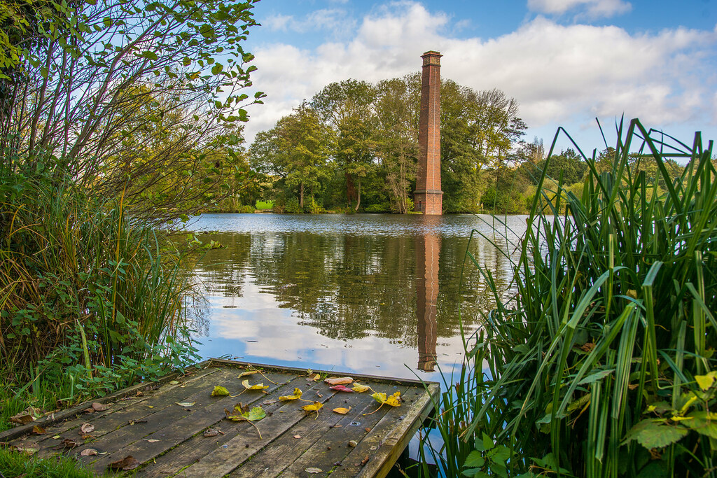
Golf-course and field paths into rolling, wooded countryside dotted with ponds.
Woodland: a quarter under tree cover.
Time: 2h–4h30
Walk details: Worcestershire Community Rail Partnership (PDF).

Hartlebury to Kidderminster
Field paths and a disused railway through a sandstone cutting, finishing on a canal towpath.
Time: 3h–6h
Walk details: Worcestershire Community Rail Partnership (PDF).
Kidderminster to Hagley
A mix of long urban pavements and surprisingly good off-road paths through pleasant countryside, including woodland and a path around Harborough Hill and with a central stretch of over a mile alongside the busy A456 on wide pavements. Best part is Hurcott Wood just after leaving Kidderminster, with bluebells in spring and birdsong.
Woodland: a quarter under tree cover.
Time: 2h30–5h
Lunch: A couple of pubs in Blakedown for potential stops.
Warnings: Follows a busy road for a sixth of the walk. The long stretch alongside the busy A456 and a few other road sections without verges require care; Hurcott Lane is a narrow lane used as a rat run with no pavement.
Walk details: Slow Ways.