Walks near Mansfield by train
Nottinghamshire · East Midlands
Stations: Mansfield Woodhouse · Mansfield
MapA day hike in the countryside is just a simple train journey away — explore the most charmingly located railway stations near Mansfield and plan your next day of green.

Nottingham Circular via Attenborough Nature Reserve (Nottinghamshire)
45 minutes direct from Mansfield.
Off-road walking and cycling alongside canal and river — a waterside network of paths. Passes the historic Trent Bridge.
Time: 5h30 (4h walking, 1h30 lunch)
Walk details: Derwent Valley Line Community Rail Partnership (local insights).

Nottingham to East Midlands Parkway (Nottinghamshire)
45 minutes direct from Mansfield.
Canal, river, wooded track and roadside footpath.
Time: 6h (4h30 walking, 1h30 lunch)
2 lunch spots: Wilford Farm (1h30 in), or Dovecote Barn Café (3h in)
Warnings: Short stretch on busy A453.
Adapted from: the Leicester Ramblers.

Derby to Nottingham (Derbyshire)
45 minutes direct from Mansfield.
Mixture of off-road cycle path and on-road sections. Part of the longer London-to-Lake-District route.
Time: 8h30 (7h walking, 1h30 lunch)
Walk details: Derwent Valley Line Community Rail Partnership (local insights).
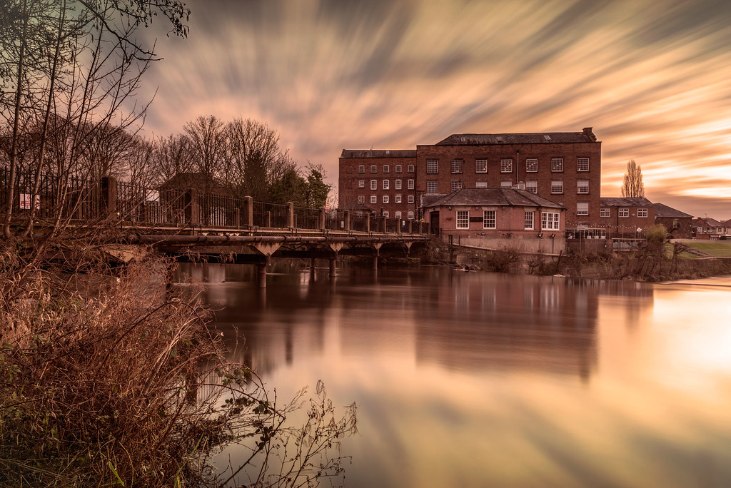
Derby to Long Eaton (Derbyshire)
1 hour from Mansfield, with one change.
Waterways — River Derwent, Derby & Sandiacre Canal and Erewash Canal.
Time: 7h (5h30 walking, 1h30 lunch)
2 lunch spots: Canal Cottage Cafe (2h45 in), or the Navigation (3h15 in)
2 end-of-walk rewards: Peking House, or the Sawley Junction
Adapted from: the Leicester Ramblers.

Attenborough Circular via Nature Reserve (Nottinghamshire)
1 hour from Mansfield, with one change.
Good paths, nature reserve, canal and river.
Waterway: nine tenths beside rivers and canals.
Time: 5h30 (4h walking, 1h30 lunch)
4 lunch spots: Beeston Lock (1h in) — the Riverside Bar, Boathouse Cafe, or Canal Heritage Centre; plus Restaurant Sat Bains (2h in)
Warnings: Check for flooding.
Adapted from: the Leicester Ramblers.

East Midlands Parkway Circular via Gotham (Nottinghamshire)
1 hour from Mansfield, with one change.
Time: 6h30 (5h walking, 1h30 lunch)
3 lunch spots: Gotham (3h in) — the Sun Inn, the Cuckoo Bush Inn, or the Star Inn
Adapted from: the Leicester Ramblers.

Bingham Circular via Screveton (Nottinghamshire)
1 hour from Mansfield, with one change.
Village greens and countryside.
Time: 5h (3h30 walking, 1h30 lunch)
2 lunch spots: Caffe Velo Verde (1h30 in), or the Royal Oak (2h15 in)
1 end-of-walk reward: the Butter Cross
Adapted from: the Leicester Ramblers.

Long Eaton Circular via Trent Lock (Derbyshire)
1 hour from Mansfield, with one change.
Public roads, footpaths and canal towpaths; railway embankments and woodland tracks and grass areas. Extensively documented railway history of the Long Eaton triangle spanning 1840–1968: wagon works, sheet stores and canal-transhipment facilities, with modern flood defences and Ratcliffe Power Station visible.
Time: 3h30 (2h walking, 1h30 lunch)
Warnings: One stretch alongside the River Trent is liable to flooding in very wet weather; beware of traffic turning off the roundabout at Tamworth Road; beware of fast-moving traffic on Fields Farm Road (40 mph). Canal towpath often under water when the river is in flood.
Walk details: Derwent Valley Line Community Rail Partnership (local insights).

Hucknall to Newstead (Nottinghamshire)
15 minutes direct from Mansfield.
Tranquil river crossing through gently hilly, wooded Sherwood Forest country. Suburban footpaths, parkland, field paths, woodland, riverside and gravel tracks. Newstead Abbey was Lord Byron's ancestral seat; Byron is buried at the Church of St Mary Magdalene in Hucknall. Newstead Colliery (closed 1987) has a pit-wheel monument on the route.
Time: 4h (2h30 walking, 1h30 lunch)
Walk details: Walk Midlands (tips, photos and local insights).

Beeston to Ilkeston (Nottinghamshire)
45 minutes from Mansfield, with one change.
Urban and suburban streets, golf-course path, woodland, abandoned canal towpath (partly waterlogged) and active canal towpath. Bennerley Viaduct gives expansive valley views — Ratcliffe-on-Soar Power Station is visible 10+ miles distant. Approximate walking time 4–5 hours.
Time: 5h30 (4h walking, 1h30 lunch)
Warnings: Heavy traffic at the dual-carriageway crossing near Nottingham; canal paths shared with cyclists.
Walk details: Walk Midlands (tips, photos and local insights).

East Midlands Parkway to Barrow-upon-Soar (Nottinghamshire)
1 hour from Mansfield, with one change.
Flat, mostly on decent paths and along the River Soar and Grand Union Canal.
Waterway: nine tenths along the River Soar.
Time: 7h30 (6h walking, 1h30 lunch)
Lunch: Nowhere to eat en route — pack lunch!
3 end-of-walk rewards: the Boat Inn, the Navigation Inn, or the Hunting Lodge
Adapted from: the Leicester Ramblers.

Long Eaton to Ilkeston (Derbyshire)
1 hour from Mansfield, with one change.
Canal, industrial towns and disused railway viaduct.
Waterway: nine tenths along the Erewash Canal.
Time: 5h30 (4h walking, 1h30 lunch)
3 lunch spots: Hallam Fields, Ilkeston (2h30 in) — Gallows Grub, or the Gallows Inn; plus La Rock (1h15 in)
1 end-of-walk reward: the Dew Drop Inn
Adapted from: the Leicester Ramblers.