Walks you can reach from Botley by train
Hampshire · South East England
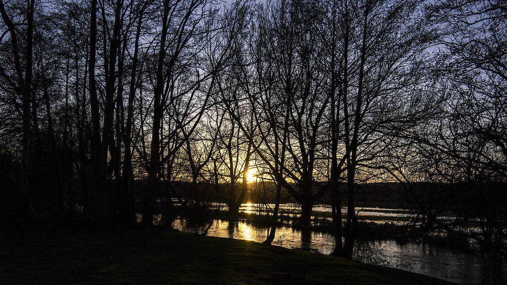
MapA day hike is just a simple train journey away — plan your next day of green.
Alternatively, view walks directly from Botley.

Winchester Circular via Wolvesey Palace (Hampshire)
15 minutes direct from Botley.
Historic cathedral city streets, watermeadows, iron age hillfort, downland ridges, river valley and ancient meadows.
Warnings: M3 motorway noise.
Walk details: the Saturday Walkers Club (tips, local insights and turn-by-turn directions).

Fleet Circular via Tweseldown Racecourse (Hampshire)
1 hour direct from Botley.
Heathland, woodland, military training lands, levada water channel, canal towpath, residential outskirts and nature reserves.
Time: 4h30
Warnings: MoD closures apply.
Walk details: the Saturday Walkers Club (tips, local insights and turn-by-turn directions).

Farnborough (Main) to Woking (Hampshire)
1 hour direct from Botley.
Largely flat Basingstoke Canal towpath, summer water lilies and wildflowers, linking Farnborough, Brookwood and Woking; varying lengths.
Lunch: Station coffee shops at Farnborough and Brookwood, a café in Brookwood, the Rose and Thistle pub at Frimley Green, and many options in Woking.
Warnings: Lords-and-ladies plants along the route are poisonous.
Walk details: Blackwater Valley Nature Walks (tips, photos, local insights and turn-by-turn directions).

Farnborough (Main) to Fleet (Hampshire)
1 hour direct from Botley.
Leisurely, hill-free chain of green spaces, following the Cove Brook Greenway through country parks and butterfly habitat to Fleet Pond, Hampshire's largest freshwater lake.
Fleet Pond: Hampshire's largest freshwater lake, a nature reserve of reedbeds, heath and woodland.
Lunch: Southwood Country Park visitor-centre café, midway.
Walk details: Blackwater Valley Nature Walks (tips, photos, local insights and turn-by-turn directions).

Farnborough (Main) to Brookwood (Hampshire)
1 hour direct from Botley.
Recommended: One of the most enjoyable routes in that area. A gentle, straightforward and very enjoyable route, mostly along the quiet Basingstoke Canal towpath through a deep cutting and dense woodland and with some residential streets at Frimley Green and Farnborough. The towpath has a fairly small gradient but can get quite muddy after wet weather; the last kilometre into Farnborough is a bit uphill on roads. The towpath switches sides at the Bisley Camp Road bridge. Adjacent army ranges at Deep Cut produce occasional sound effects along the canal.
Waterway: three quarters along the Basingstoke Canal.
Woodland: a quarter under tree cover.
Time: 2h30–5h
1 lunch spot: the Harvester
Warnings: There are railway lines to cross leaving Farnborough where visibility can be poor; take care. The towpath can be quite muddy after wet weather.
Walk details: Slow Ways.

Basingstoke to Alton (Hampshire)
45 minutes direct from Botley.
A scenic, almost entirely off-road walk crossing picturesque estates (War Memorial Park, Hackwood Park), woodland and arable farmers' fields, with a variety of landscapes. Some narrow and overgrown stretches (notably White Lane), a couple of stiles and kissing gates and a small amount of quiet-lane road walking; firm underfoot in dry spells. Not much in the way of resting places; the church at Weston Patrick has seating. A bus runs between the two endpoints.
Woodland: a quarter under tree cover.
Time: 5h–10h
1 lunch spot: Avenue Nurseries café
Warnings: Several stiles and kissing gates, and an overgrown stretch of track (White Lane). The B3349 crossing has good sightlines south but a northbound bend, so take care. Cattle, including Highland cows, often in a field near Alton.
Walk details: Slow Ways.

Winchester to Micheldever (Hampshire)
15 minutes direct from Botley.
A long walk leaving Winchester via Riverside Park along the River Itchen, then following the Watercress Way and the route of former railways across rolling Hampshire farmland to Micheldever Station. Mostly farm tracks, quiet lanes and good-quality paths, with a short wooded stretch by the railway; some sections muddy or overgrown and plus a few stiles. Shares the route of the St Swithun's Way and Camino Inglés (St James Way) leaving Winchester, then follows the former Didcot, Newbury and Southampton railway. Passes Winnall Moors Nature Reserve on the western edge of the South Downs National Park, with many helpful information boards. Direct hourly train links Micheldever and Winchester (about 9 minutes); the station is 0.2 miles beyond the village sign.
Woodland: a quarter under tree cover.
Time: 5h30–10h30
Lunch: A farm shop (Cobbs/Cobbs farm shop) early on for coffee and snacks; otherwise few facilities — Kings Worthy is the last main settlement, with plenty of spots for a picnic en route.
Warnings: Walkers only. A few road sections (notably Old Stoke Road) are straight with good visibility but lack pavement, so you may need to press into the hedge. One narrow path runs parallel to the railway with a steep drop-off; watch for easily-missed steps. Cattle in some fields. Easy to miss turns off the disused railway lines.
Walk details: Slow Ways.
Romsey to Eastleigh (Hampshire)
15 minutes direct from Botley.
Baddesley Common was gorgeous; the next stretch, through Knight Wood, was wonderful. A varied route mixing tarmac with footpaths, woods and countryside, including Tadburn meadows nature reserve, Baddesley Common and Knight Wood. A few stiles and gates; the common can be wet and muddy after rain and the final suburban miles run near the M3.
Woodland: a third under tree cover.
Time: 3h30–7h
Warnings: A quarter urban. Flexford Road is a nasty stretch with almost no refuge from frequent traffic and no footpath; an alternative via Fleming Park avoids it. The bridge over Monk's Brook near Chandler's Ford may be broken and closed, requiring a short diversion. Stiles and gates on North Baddesley Common.
Walk details: Slow Ways.

Romsey to Winchester (Hampshire)
15 minutes direct from Botley.
A gorgeous route; Beautiful, flat walk through the water meadows; Stunning views. After a dull few kilometres on pavement beside the main road out of Romsey, the route becomes a pleasant walk on forestry tracks, woodland paths and field boundaries through water meadows, with a steady climb and finishing alongside the Itchen into Winchester. Some rough terrain and narrow gaps. Within the South Downs area, passing Ampfield Wood, Hursley Forest and the Itchen water meadows.
Woodland: two fifths under tree cover.
Time: 5h–10h
Lunch: Two pubs and a small shop at Hursley (midway), and a tea room at St Cross on the edge of Winchester.
Warnings: A busy road crossing near Badger Farm (Winchester) is best made at a nearby footbridge; a narrow footbridge over the mainline railway near St Cross makes the route walkers-only. Woods can be muddy in winter.
Walk details: Slow Ways.

Whitchurch to Micheldever (Hampshire)
30 minutes direct from Botley.
Starts in Whitchurch on the River Test, heading south on a long footpath through attractive fields, then an overgrown byway and a long roadside walk along the busy Overton Road, before a narrow path alongside the railway cutting and a final field crossing to Micheldever Station. Footpaths can be unclear and narrow and overgrown. Passes the Silk Mill Museum just south of Whitchurch and goes through the Roundwood estate.
Woodland: a fifth under tree cover.
Time: 3h–6h
Warnings: A long walk alongside the busy Overton Road has only a narrow verge; visibility is good but you need to stay vigilant. The footpath alongside the railway cutting is narrow and overgrown in places, and its entrance is rather hidden after the A303 underpass.
Walk details: Slow Ways.

Mottisfont & Dunbridge to Micheldever (Hampshire)
30 minutes direct from Botley.

Micheldever to Alton (Hampshire)
30 minutes direct from Botley.
Enjoyable and beautiful, especially around the Candovers. A long route mainly on countryside footpaths, bridleways and byways through woods and across arable fields, with several stretches of road walking. Variable underfoot and generally firm in dry weather; no stiles or steps. Follows the Oxdrove Way and Wayfarer's Walk in parts. A shop in Preston Candover about halfway, and shops in Alton; very little at Micheldever (the pub by the station has closed). Both Alton and Micheldever Station have train and bus links.
Woodland: a quarter under tree cover.
Time: 7h30–14h30
Lunch: A shop in Preston Candover about halfway, but very little at the Micheldever Station end.
Warnings: Not recommended: several sections are not public rights of way and require detours, including stretches needing a climb over a fence. Several road stretches are unpleasant, notably the national-speed-limit sections from Poasley Farm to Breach Farm Cottages and along Larkwhistle Farm Road, with fast traffic and little or no verge. Micheldever Station is hard to reach from the east.
Walk details: Slow Ways.