Walks you can reach from Southampton Airport Parkway by train
Hampshire · South East England
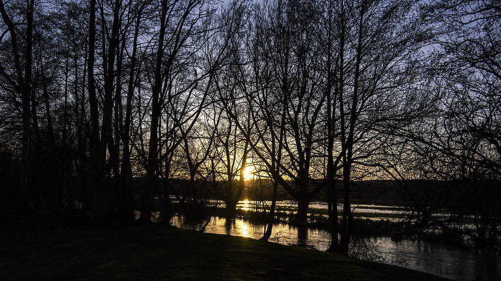
MapA day hike is just a simple train journey away — plan your next day of green.

Lymington Town to Brockenhurst (Hampshire)
30 minutes direct from Southampton Airport Parkway.
Recommended
Time: 3h30–7h
1 lunch spot: the Fleur de Lys (1h–1h30 in)
2 end-of-walk rewards: the Snakecatcher Pub, or the Huntsman
Warnings: Can be EXTREME mud in Lymington Reeds Beds Nature Reserve.
Adapted from: The Rough Guide to Walks in London & the South East (3rd edition).
Reverse direction: the Saturday Walkers Club and Slow Ways (inc. GPX).

Reading to Henley-on-Thames (Berkshire)
45 minutes direct from Southampton Airport Parkway.
Flat Thames towpath, riverside parks, wooded sections, pasture fields, meadows and riverside gardens.
Waterway: four fifths along the River Thames.
Time: 4h–8h
Warnings: Flood risk sections.
Walk details: the Saturday Walkers Club (tips, local insights and turn-by-turn directions).

Reading to Shiplake (Berkshire)
45 minutes direct from Southampton Airport Parkway.
Flat Thames Path riverside countryside, the Horseshoe Bridge and the historic Bull Inn at Sonning (of Three Men in a Boat).
The River Thames: England's best-known river, whose towpath (the Thames Path National Trail) carries long stretches of nearly every walk in this set.
Time: 2h30
Warnings: Shared with cyclists between Reading and Sonning; walkers only beyond.
Walk details: Reading to Basingstoke Community Rail Partnership (turn-by-turn directions).

Winchester Circular via Wolvesey Palace (Hampshire)
7 minutes direct from Southampton Airport Parkway.
Historic cathedral city streets, watermeadows, iron age hillfort, downland ridges, river valley and ancient meadows.
Warnings: M3 motorway noise.
Walk details: the Saturday Walkers Club (tips, local insights and turn-by-turn directions).

Brockenhurst Circular via Lyndhurst (Hampshire)
30 minutes direct from Southampton Airport Parkway.
Forest inclosures and heath between the villages of Lyndhurst and Brockenhurst, with Lymington River bathing spots and spring bluebells. Strenuous.
Walk details: New Forest Walks (tips, photos, local insights and turn-by-turn directions).

St Denys to Chandler's Ford (Hampshire)
5 minutes direct from Southampton Airport Parkway.
River Itchen and Monks Brook with little road walking — Riverside Park, woodland, North Stoneham Park and waterside meadows.
Time: 3h
Warnings: Four stiles; can be muddy in places; not suitable for wheelchairs or pushchairs; take care at road crossings.
Walk details: Three Rivers Community Rail Partnership (PDF).
Romsey to Chandler's Ford (Hampshire)
15 minutes direct from Southampton Airport Parkway.
Hampshire countryside and quiet lanes — a canal path, Tadburn Meadows, the boardwalks of Emer Bog and Knight Wood.
Time: 3h
Warnings: Nine stiles; can be boggy after wet weather; not suitable for wheelchairs or pushchairs; take care at road crossings.
Walk details: Three Rivers Community Rail Partnership (PDF).

Ashurst New Forest to Brockenhurst (Hampshire)
30 minutes direct from Southampton Airport Parkway.
Ancient woodland, open heath and inclosures, crossing the Beaulieu River past Matley and Denny Woods. Strenuous.
Matley Wood: A small but beautiful tract of ancient and ornamental New Forest woodland reached across open heath.
Denny Wood: An ancient and ornamental woodland of beech and oak flanked by ferns and surrounded by heath and wetland habitats.
Warnings: Some roadside walking with limited footpath; take care.
Walk details: New Forest Walks (tips, photos, local insights and turn-by-turn directions).

Sway to Brockenhurst (Hampshire)
30 minutes direct from Southampton Airport Parkway.
Open heath and forest inclosures, a caravan park and a dead-straight stretch of the disused Castleman Corkscrew railway, now a cycle route. Strenuous.
Warnings: Some short road sections have no footpath; watch for traffic.
Walk details: New Forest Walks (tips, photos, local insights and turn-by-turn directions).

Farnborough (Main) to Woking (Hampshire)
45 minutes direct from Southampton Airport Parkway.
Largely flat Basingstoke Canal towpath, summer water lilies and wildflowers, linking Farnborough, Brookwood and Woking; varying lengths.
Lunch: Station coffee shops at Farnborough and Brookwood, a café in Brookwood, the Rose and Thistle pub at Frimley Green, and many options in Woking.
Warnings: Lords-and-ladies plants along the route are poisonous.
Walk details: Blackwater Valley Nature Walks (tips, photos, local insights and turn-by-turn directions).

Longcross to Woking (Surrey)
45 minutes direct from Southampton Airport Parkway.
Heathland, Horsell Common and a Peace Garden; Chobham Common, Rhododendron Walkway, Basingstoke Canal into Woking.
Woodland: half under tree cover.
Chobham Common: The largest National Nature Reserve in the South East, a fine example of lowland heath.
Horsell Common: Sandy common made famous as the Martian landing site in H.G. Wells' War of the Worlds.
Time: 3h30–7h
Warnings: Longcross has no facilities and trains roughly twice an hour; buy single tickets as the stations are on different lines.
Walk details: Walking Post (tips, photos and local insights).

Woking to Addlestone (Surrey)
45 minutes direct from Southampton Airport Parkway.
Recommended: A really easy-to-follow and direct and pleasant route making the most of the Basingstoke Canal and Wey Navigation towpaths. The first section out of Woking is mostly paved; the stretch along the Wey is rougher ground and can be muddy in places after rain. A gradual rise as the locks raise the canal level; away from traffic and mostly quiet. Follows the Basingstoke Canal and Wey Navigation towpaths.
Waterway: nine tenths along the Basingstoke Canal.
Woodland: two fifths under tree cover.
Time: 2h30–5h
Lunch: There are no refreshments along the way, but it is not a long route.
Walk details: Slow Ways.